
Jessica Webb
editor@thesmokymountaintimes.com
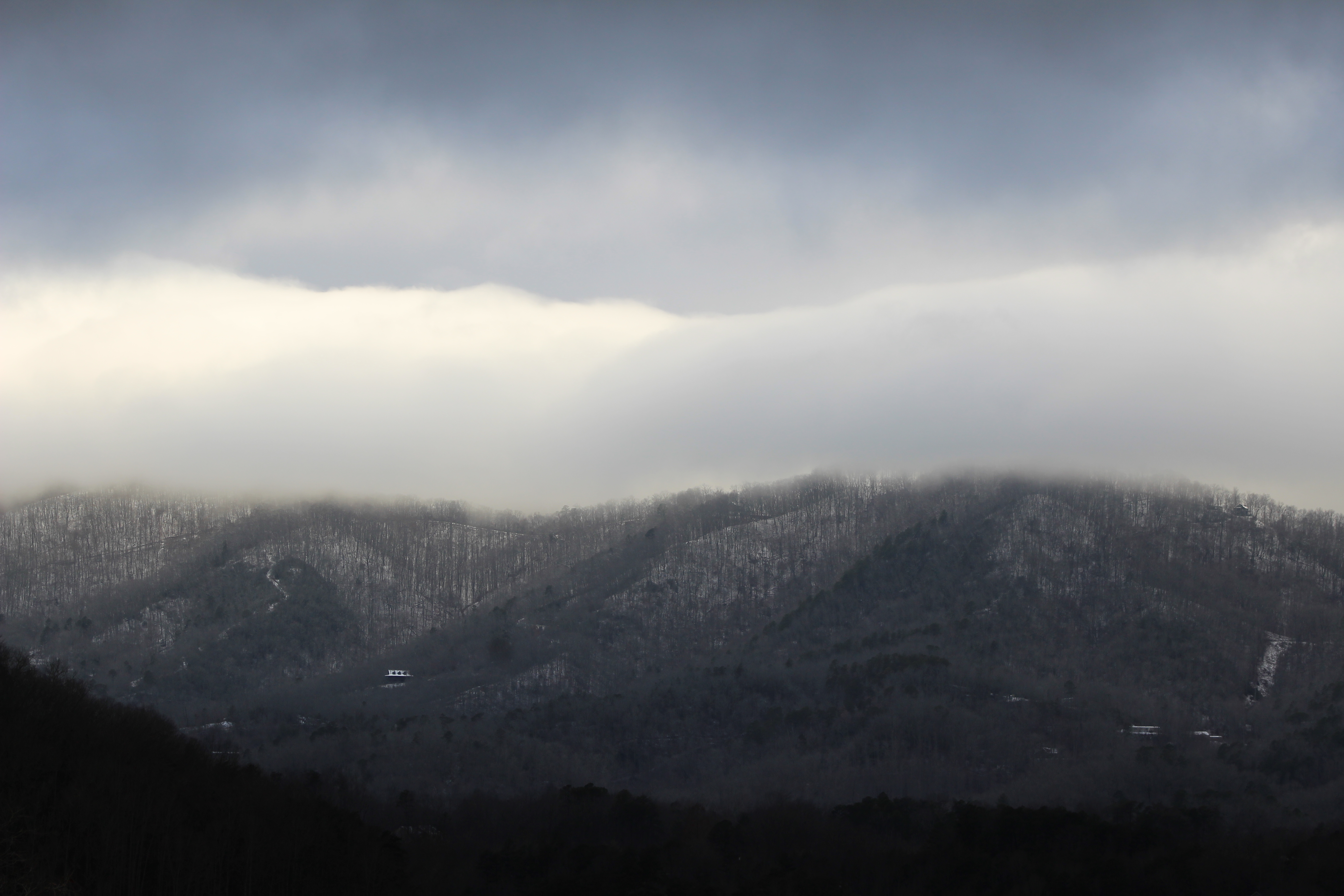
Swain County received its first significant snow of the year Monday, as part of an Artic blast storm swept the country. While downtown Bryson City just received a dusting of snow on Monday, Jan. 15, higher elevations across the county saw more snow.
In the Great Smoky Mountains National Park, the National Park Service recorded up to 13 inches at Newfound Gap. With park roads covered with ice and snow and sub-freezing temperatures, most roads in the Park including Newfound gap were closed through Wednesday and may remain so today. Visitors’ centers were closed Tuesday and reopened late on Wednesday.
Swain County School changed Tuesday’s Mandatory Teacher Work Day to an Annual Leave Day. Southwestern Community College closed early yesterday and remains closed today due to the weather.
EBCI offices also closed Tuesday due to the inclement weather. Several businesses closed early Monday evening due to the weather, but several were reopened for regular hours on Tuesday.
Swain County has rescheduled the commissioners' regular session scheduled for today, pushing the meeting to next Tuesday, Jan. 23 at 5:30 p.m. at the Business Center.
On Wednesday, schools returned but on a 2 hour delay. Tuesday night’s sporting events were rescheduled.
NCDOT were out treating the roadways. Monday evening, Cherokee Indian Police Department advised drivers to avoid Soco Mountain (Hwy 19/23) between Cherokee and Maggie Valley due to treacherous road conditions and multiple accidents.
Slippery road conditions persisted in areas of the mountains Tuesday morning. Temperatures dropped through the day with a low of 4 degrees overnight. Wednesday was the coldest winter day this season, with temperatures in the teens as people headed to work. The sun was out with temperatures reaching the mid-30s by mid-day. The area remained under a wind chill advisory making temperatures feel much colder.
The National Weather Service issued both a special weather statement for the road conditions Tuesday and a wind chill advisory beginning at 2 p.m. to noon Wednesday with very cold wind chills expected as low as 10 to 15 below zero and down to minus 20 along the highest ridge tops. A wind chill advisory was still in effect Wednesday.
Temperatures are warming rising today, with a forecast of mostly cloudy with a low of 33 and high of 47 degrees. Wind is forecast to pick up Friday, with lower temperatures returning overnight both Friday and Saturday, dipping into single digits. Next week, the area is predicted to reach daytime temperatures back into the 50s, according to weather.com.