
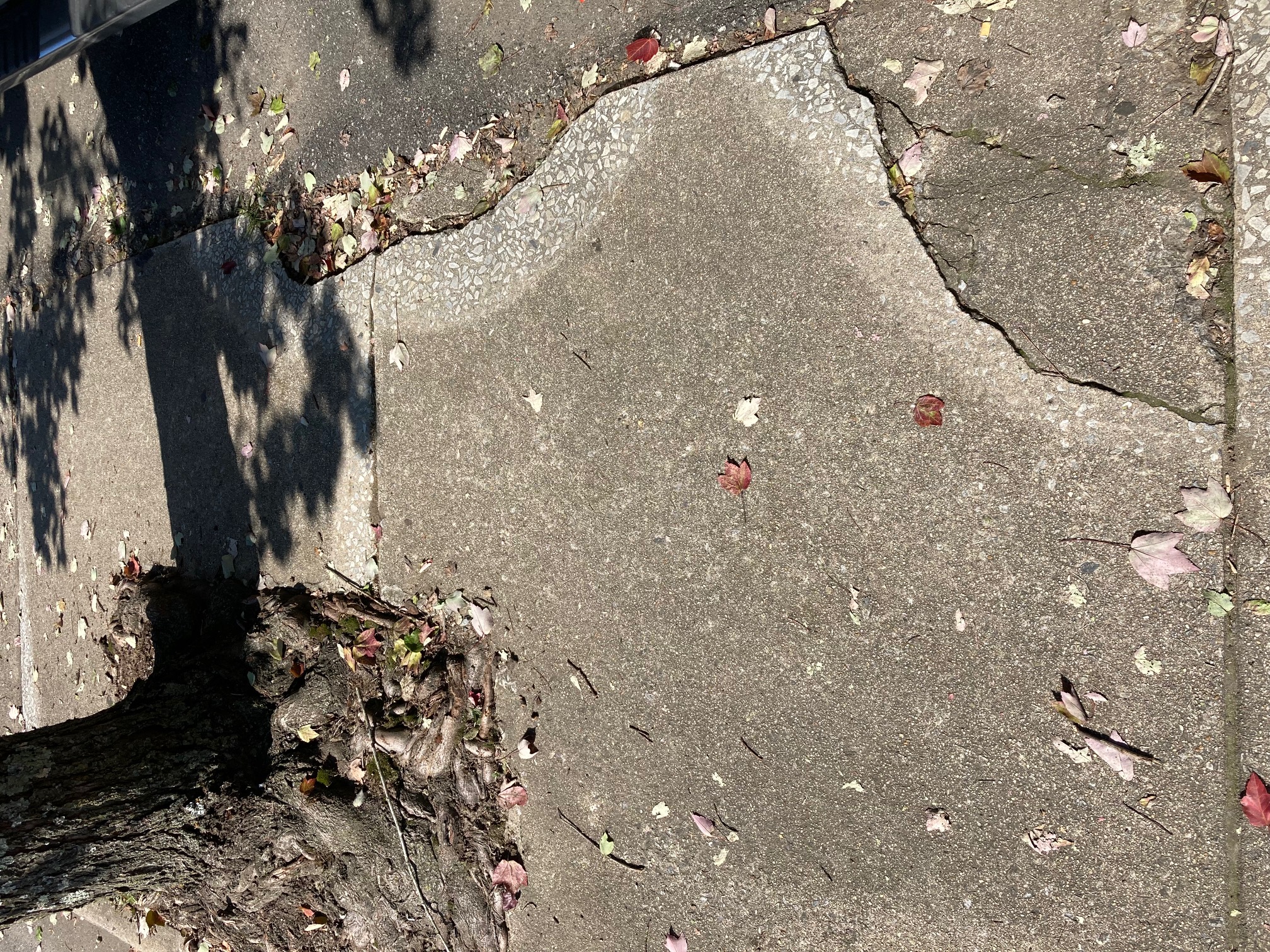
There are several places on the sidewalks on Main Street that could present tripping hazards.
Jessica Webb
editor@thesmokymountaintimes.com
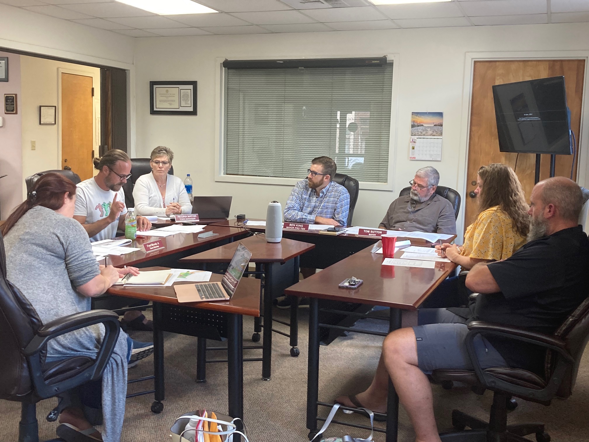
Bryson City planning board joined the Bryson City Town Board of Aldermen for a discussion during the council’s work session meeting held Monday, Sept. 19 at town hall. They covered plans for sidewalk improvements on Main Street, upgrades at Island Park as well as the need for a land use plan map.
First up, the board heard from Russ Harris, executive director with Southwestern Regional Commission, who was there to discuss the Rural Transformation Grant Fund. The grant is potentially up to $950,000 and can go to any kind of transformational project. For Bryson City, upgraded sidewalks and lighting for Main Street seems like the best project to apply for funding. That’s in part because the town already got $200,000 from the state budget for the project but it will cost significantly more. Harris said his agency can help the town with writing the grant.
“The next step is to figure out what your priorities are…and we’ll get some guidance on how best to capitalize on that,” Harris said.
Later on in the evening, the town approved a recommendation to put out a Request for Proposal. Main Street sidewalk improvements are to be done in four phases from the corner of Everett Street to Veterans Boulevard. This would include new paved sidewalks, curbs as well as new lights.
Island Park
Unlike the Main Street project, the planning board believes the $200,000 direct state funding for Island Park will go further than the town originally thought.
“There’s a lot we can do,” said Kyle Henry, planning board member and local contractor. The ramp is not in bad shape, he said, with minimum repairs needed. He also shared the good news that they won’t need a causeway built to cross the water; in fact, there is small equipment that could traverse the current bridge just fine.
The funds could go toward additional picnic tables, lighting and even a small pavilion. If there is enough funding, the planning board even suggested a pump track for families to use on their bikes. These have become popular lately at other parks.
There’s hope to eventually have restrooms close to the park, but they would be located prior to crossing to the island and would require land acquisition.
The boards briefly discussed there’s an ongoing issue of people squatting on the island and vandalizing it. The planned improvements would hope to deter such use.
Land use map
A good portion of the meeting Monday went to discussing the desire to draw up a more detailed land use map with three zones with districts in each to include residential 1, residential 2 and commercial.
This comes on the heels of the adoption of the Byson City Land Use Plan for 2045 earlier this month which included a very general map with a downtown area, main corridors and surrounding residential.
The goal, in part, would be to have a map that becomes a part of a town ordinance that would actually be enforceable.
Following discussion, the boards agreed to set a goal of drawing up the map as soon as possible to include it in the current review of all the county ordinances, which will then be codified as a whole. Toward that effort, two town board members will join the planning board in a special meeting today Thursday, Sept. 22 at 9 a.m. at Town Hall to work on the map.